

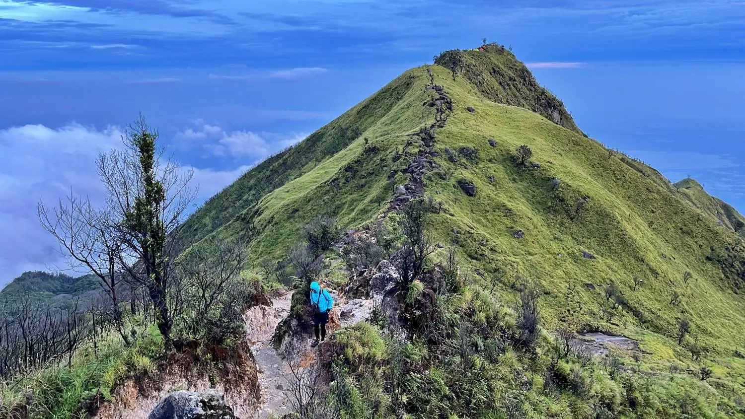
If you’re in Solo and want to go beyond the usual city attractions, hiking can be one of the most rewarding ways to explore the surrounding nature. Despite being located in a lowland area, Solo surprisingly makes a convenient starting point for discovering hiking spots in the nearby hills and mountains.
Table of Contents
From short hill hikes to more challenging mountain climbs, the trails around Solo vary in difficulty and terrain. It’s therefore important to choose a route that matches your fitness, experience, and preparation, while also considering the distance from Solo to make sure your trip works as a day hike or weekend getaway.
Hiking vs Trekking: What’s the Difference?
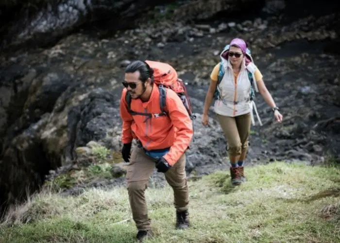
The terms hiking and trekking are often used interchangeably, but they generally describe slightly different experiences. While both involve exploring nature on foot, hiking typically refers to a day hike along a relatively established trail and usually takes less time.
Trekking, meanwhile, generally involves longer journeys across more varied terrain and can take several days, often requiring an overnight stay along the route.
If you’re exploring Indonesia’s mountainous terrain, another term worth knowing is tektok. This refers to a hike where you ascend and descend the mountain on the same day without spending the night on the trail.
Best Hiking Spots Near Solo
Gunung Lawu – The Signature Mountain Near Solo
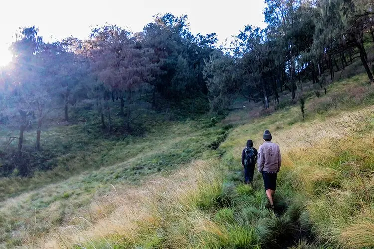
At 3,265 meters above sea level, Gunung Lawu is one of the most popular hiking spots near Solo. Its hiking experience varies depending on the route, with popular trails including Cemoro Kandang, Cemoro Sewu, and Candi Cetho.
While each route has its own character, hikers can generally expect a combination of rocky and earthen terrain, steep sections, and a long ascent, making Lawu more suitable for experienced hikers.The ascent typically takes between six to seven hours.
However, hiking access can change depending on weather, maintenance, and safety conditions. As of September 2026, the three routes were temporarily closed following wildfire concerns, with no reopening date announced at the time of writing.
Stretching across Central and East Java, Gunung Lawu is also closely associated with Javanese culture and spirituality. The mountain’s slopes are home to historic sites such as Cetho Temple and Sukuh Temple.
Difficulty: Challenging
Gunung Merbabu – For Experienced Day Hikers

Gunung Merbabu calls for a more demanding hiking experience. Rising to around 3,145 meters, the mountain is known for its wide-open landscapes, rolling savannas, open ridges, and views toward Mount Merapi.
The Selo route in Boyolali is one of the more accessible trailheads from Solo. Along the way, hikers pass through expansive savanna landscapes and well-established sections of trail before reaching higher ridges with panoramic mountain views. The route is considered moderate to challenging, typically taking around six to eight hours to reach the summit.
- Difficulty: Moderate to challenging
Gunung Andong – The Beginner-Friendly Choice
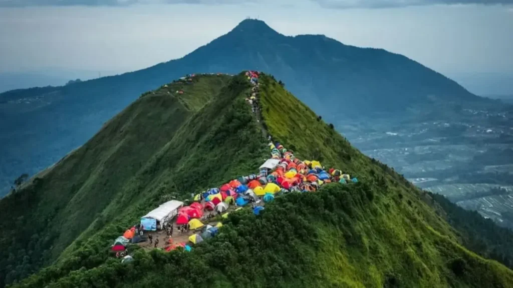
If you’re looking for your first hiking spot, Gunung Andong is worth discovering. Located in Magelang, the 1,726-meter mountain is known for its relatively short route and panoramic views of the surrounding peaks, making it popular among beginner hikers.
The Sawit route is one of the popular choices, taking around 1.5 to 2 hours to reach the summit. The trail combines stone steps, dirt paths, and rocky sections, with several uphill stretches along the way. Starting before dawn allows hikers to catch the sunrise from the summit, but make sure to bring a headlamp, warm layers, water, and other essentials for an early-morning climb.
- Difficulty: Beginner-friendly
Gunung Prau – Sunrise and Highland Views
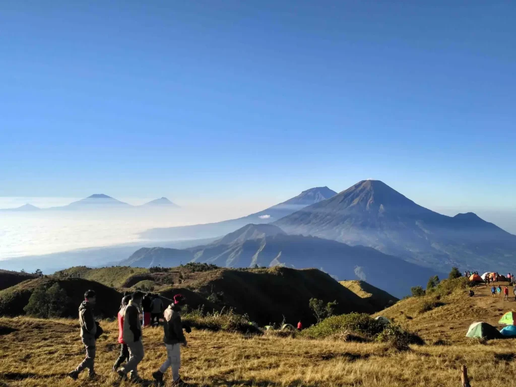
Gunung Prau is another worthwhile hiking spot near Solo, especially for those looking for a manageable mountain hike with dramatic highland scenery. At around 2,590 meters above sea level, the mountain rewards hikers with sunrise views, open grasslands, and panoramas of Mount Sindoro, Mount Sumbing, Mount Merapi, and Mount Merbabu.
Consider the Patak Banteng route as it offers a relatively short approach, around two to three hours, compared with several other routes. Hikers can choose between camping overnight or attempting a tektok, depending on the experience they want and their physical preparation.
- Difficulty: Beginner-friendly to moderate
Bukit Sikunir – The Easiest Sunrise Hike
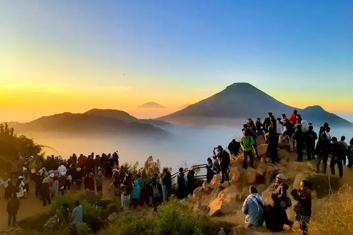
Rather than climbing a major mountain summit like the other hiking spots on this list, Bukit Sikunir in the Dieng highlands offers a shorter hiking alternative, making it suitable for first-time hikers. The main attraction is its sunrise viewpoint, where visitors can take in the surrounding mountain landscape with Telaga Cebong visible below. The hike begins before dawn for those hoping to catch the sunrise, so essentials such as a headlamp, warm clothing, water, and comfortable footwear are important.
- Difficulty: Easy
When Is the Best Time to Hike Near Solo?
The dry season generally offers more favorable conditions for hiking, with a lower chance of rain and slippery trails. However, drier conditions can also mean dustier trails and a higher risk of wildfires in some mountain areas. If the weather forecast indicates poor conditions, it’s better to postpone the hike.
For sunrise hikers, starting early in the morning is essential. This is particularly important for longer routes where reaching the viewpoint or summit before sunrise can take several hours.
The experience can also be more comfortable on weekdays, when popular trails tend to be quieter than during weekends and public holidays. However, it’s important to note that there’s no single best month for every hiking spot. Mountain weather can change quickly, particularly at higher elevations, so always check the latest weather forecast, trail status, and local regulations before setting out
Frequently Asked Questions
What mountains are near Surakarta?
Several mountains can be reached from Surakarta for a day trip or longer hiking adventure, including Mount Lawu, Mount Merbabu, Mount Andong, and Mount Prau. They each differ in distance, trail duration, and difficulty, so the best option depends on your personal preference.
Which mountain is best for beginner hikers near Solo?
Gunung Andong is one of the more beginner-friendly choices. The popular Sawit route takes only 1.5–2 hours to reach the summit and offers wide mountain views from the top.
Is Mount Prau suitable for solo hiking?
Mount Prau can be approached independently, particularly through popular routes such as Patak Banteng, which has a well-established basecamp and facilities.
What are the Seven Summits of Central Java?
The term Seven Summits of Central Java is commonly used to refer to seven of the province’s highest mountains: Mount Slamet, Mount Sumbing, Mount Sindoro, Mount Merbabu, Mount Merapi, Mount Prau, and Mount Ungaran.
What is the easiest mountain to hike near Solo?
For a relatively short mountain hike, Gunung Andong is one of the most accessible options in this selection. Its popular route takes around 1.5–2 hours to the summit.
From short sunrise hikes to demanding mountain climbs, these hiking spots around Solo offer memorable ways to take in Central Java’s scenic landscapes beyond the city. Each with its own characteristics, keep in mind to choose a trail that matches your fitness, experience, available time, and current mountain conditions.
Still working on your Solo itinerary? Discover the complete guide to the top things to do in Surakarta, Tawangmangu Hills, and Sakura Hills.